Github, the online version control repository host for Git, recently added support for GeoJSON files. Sounds boring, right? It actually lets you do something very cool: build your own “dots on a map” website with virtually zero code.

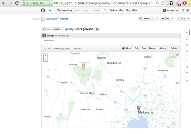
An example of GeoJSON on Github I whipped up. Click it.
Here’s what you need to do.
- Get a Github repository if you don’t have one already. They’re free.
- Create a GeoJSON file. You can export to this format from various tools. One easy way to get started would be to upload a CSV file with locations to dotspotting.org then download the GeoJSON from there. Or even easier, use geojson.io to place dots, lines and polygons with a graphical tool. It can save directly to your GitHub.
- Here’s what my test file looks like:
{
 "type": "FeatureCollection",
 "features": [{ "type": "Feature",
 "geometry": {
 "type": "Point",
 "coordinates": [144.9,-37.8]
 },
 "properties": {
 "title": "Scooter",
 "description": "Here's a dot",
 "marker-size": "medium",
 "marker-symbol": "scooter",
 "marker-color": "#a59",
 "stroke": "#555555",
 "stroke-opacity": 1.0,
 "stroke-width": 2,
 "fill": "#555555",
 "fill-opacity": 0.5
 }
 },
 { "type": "Feature",
 "geometry": {
 "type": "Point",
 "coordinates": [144.4,-37.5]
 },
 "properties": {
 "title": "Cafe",
 "description": "Coffee and stuff",
 "marker-size": "medium",
 "marker-symbol": "cafe",
 "marker-color": "#f99",
 "stroke": "#555555",
 "stroke-opacity": 1.0,
 "stroke-width": 2,
 "fill": "#555555",
 "fill-opacity": 0.5
 }
 }]
}
It’s worth validating with GeoJSONLint.
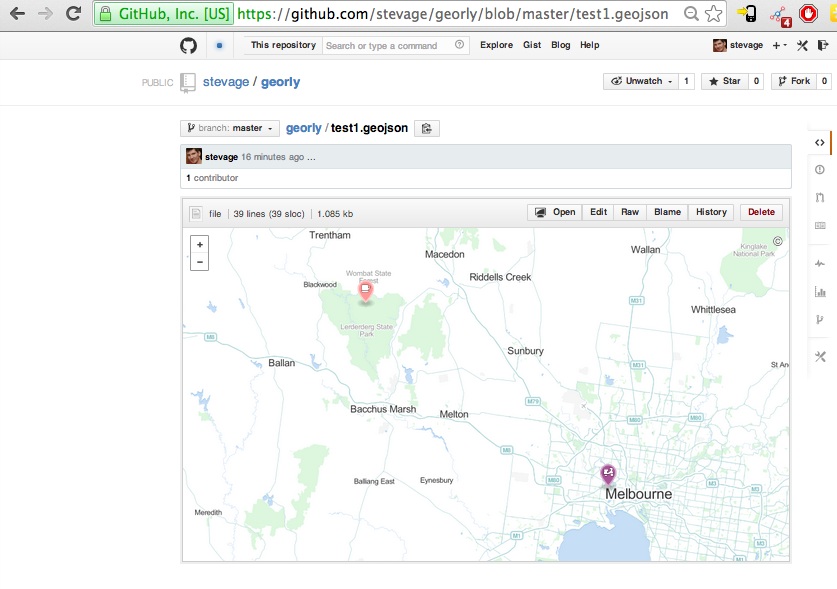
- Commit this file, say test.geojson, to your Github repository. You can get a preview of it in Github:
The test GeoJSON file, as seen on GitHub.
- Now the really cool part. Embed the map into your own website. This is stupidly easy:
<!DOCTYPE html>
<html>
<body>
<script src="https://embed.github.com/view/geojson/stevage/georly/master/test1.geojson?height=500&width=1000"></script>
</body>
</html>
If you don’t have a website, site44 is an extremely easy way to get started. You place HTML files into your DropBox, and they get automagicked onto the web, with a subdomain: something.site44.com.
Now what?
That’s it! What’s especially interesting about the hosting on GitHub is it’s a very easy way to have a lightweight shared geospatial database of points, lines or polygons. Here’s how you could add dots to my map:
- Fork my repository
- Add a few points, by modifying the GeoJSON file
- Commit your changes to your repository.
- Send me a pull request
- I accept the changes, and voila – now your points are shown with mine.
Using this method, we have a “review before publish” workflow, and a full version history of every change.
Caveats
This is a nifty tool for prototyping social mapping applications, but it obviously won’t cut it for production purposes:
- No support for different layers: all the dots are always shown
- No support for different basemaps: always the same OpenStreetMap style
- No authoring tools: you must use something else to generate the GeoJSON
- Obligatory “rendered with (heart) by GitHub” footer.
Soon you’ll want to build a proper application, using tools like MapBox, CloudMade, CartoDB, Leaflet etc.

Recent Comments